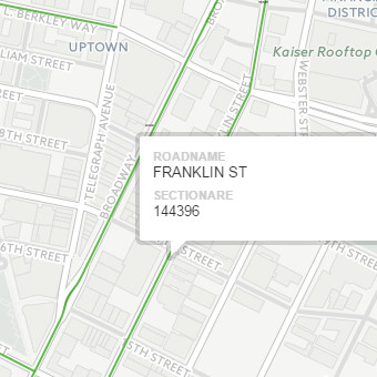
4/25/15
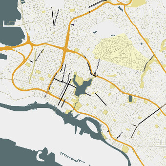
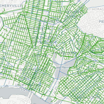
Department of Engineering & Construction Map
General map design for engineering and construction staff that provides access to spatial data for design and planning purposes. Integrates majority of data related to the division.
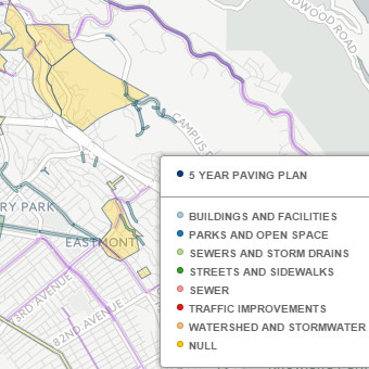
11/03/15
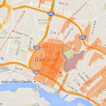
Capital Improvement Projects
Capital improvement projects in the city of Oakland. Buildings, open space, streets, sewer, water, and other features are included in this map.
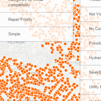
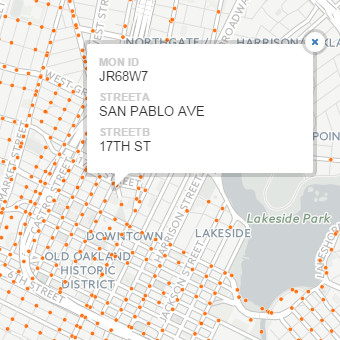
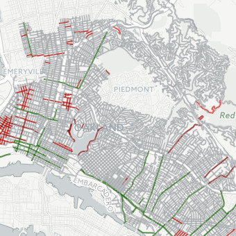
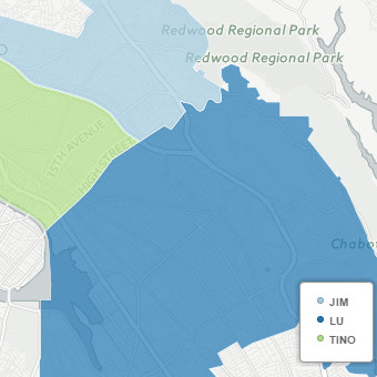
11/10/15
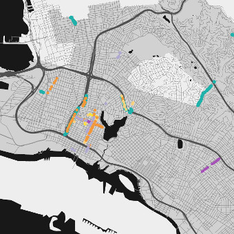
Sewer Dashboard
Pipe reports and sewer data used to identify locations of concern.
08/07/15
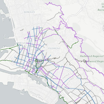
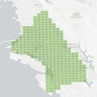
Ortho Grid 2015
Ortho grid key. Hovering or clicking on a location on the grid will display the recorded ortho grid number that needs to be retrieved for a project.